This product is not a toy, but a learning material intended for use under adult supervision. We, therefore, declare that our products are not subject to the obligation of CE certification, but nevertheless, comply with the most recent essential requirements of the standard in force.
 Accedi
 wishlist
  Torna al sito


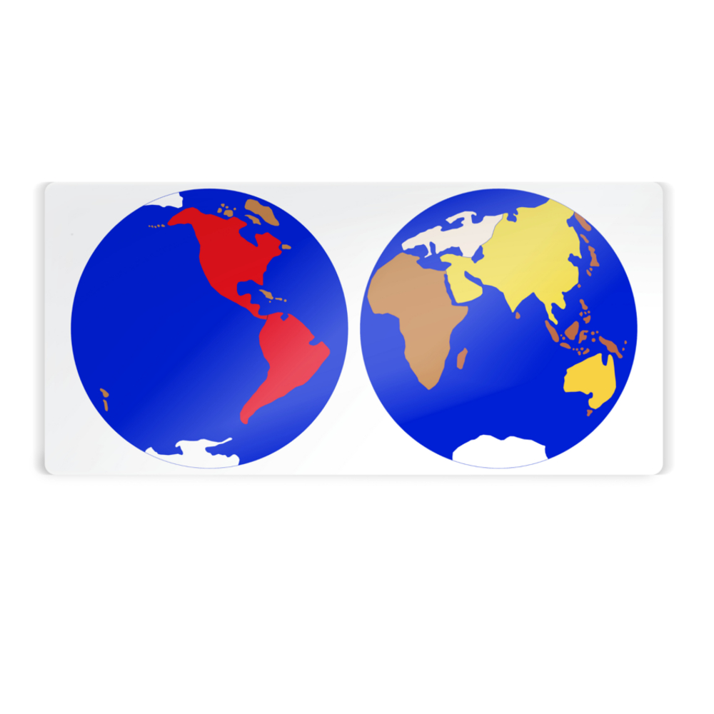


 Planisphere interlocking
 Drawer for interlocking planisphere
 Black and white muted planisphere plasticised map
 Laminated map spoken word planisphere/continents