 Accedi
 wishlist
  Torna al sito


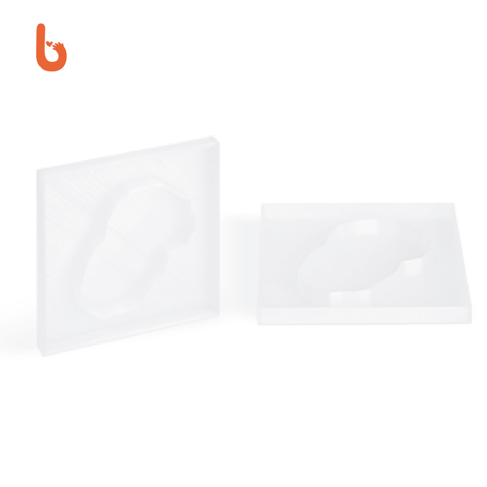


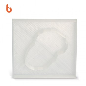
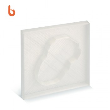


The two filling trays for geographical contrasts are a practical aid for studying the horizontal configuration of land and water and make the pairs of main contrasts visually evident. The game consists of filling the trays with water and land in order to distinguish geographical configurations and to recognise the contrasts between the shapes in practice. Two trays can be chosen from the following pairs of geographical contrasts: lake-island; gulf-peninsula; strait-island; bay-head; archipelago-lake network. The game stimulates the ability to concentrate, helps to know and memorise the shapes and names of the main geographical contrasts, and thus to acquire scientific knowledge of the environment through classified nomenclature.


![]()
© 2015 - 2023 Boboto S.R.L. Società Benefit
mobile: +39 346 094 8433
Sede Legale: Via San Lazzaro, 12 – 73100 LECCE
P.I. 04804810754
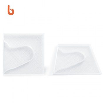 Filling trays for soil and water contrasts
 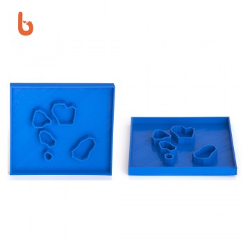 Filling trays for soil and water contrasts
 Filling trays for soil and water contrasts
 Filling trays for soil and water contrasts